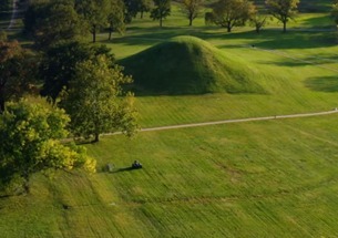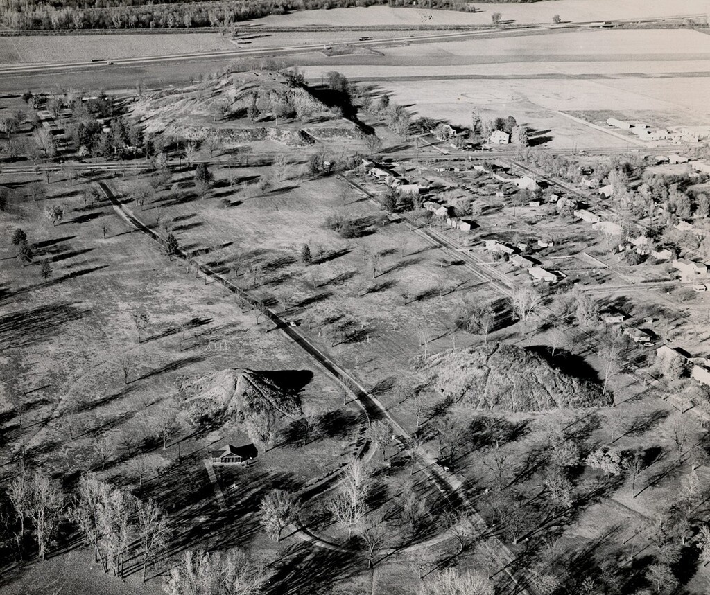
On the banks of the Mississippi River in America’s heartland lies the vestiges of a once great civilization. Starting around A.D. 700, the Mississippians made their home across from present-day St. Louis and built a city spanning six miles, home to tens of thousands of American Indians.
Considered the largest and most complex archeological site north of pre-Columbian sites of Mexico, this UNESCO World Heritage Site has much to see. The most prominent features are the earthen mounds; 80 of 120 can been seen today varying in function and size. The largest, Monks Mound, rises 30 meters and covers nearly 14 acres and has a view of the St. Louis Arch from the top! There is also an interpretive center, guided tours, and more than six miles of trails to explore around the site.
Active archaeological digs continue to uncover what life was like for Mississippians. We know they arranged their homes in rows punctuated by plazas and tended their fields in the city’s surrounds. One of the mysteries that still persists is what happened to the people of Cahokia; the city was abandoned by 1400 A.D., and archeologists have yet to determine their fate. Located along historic Route 66 near the Mississippi River, Cahokia Mounds
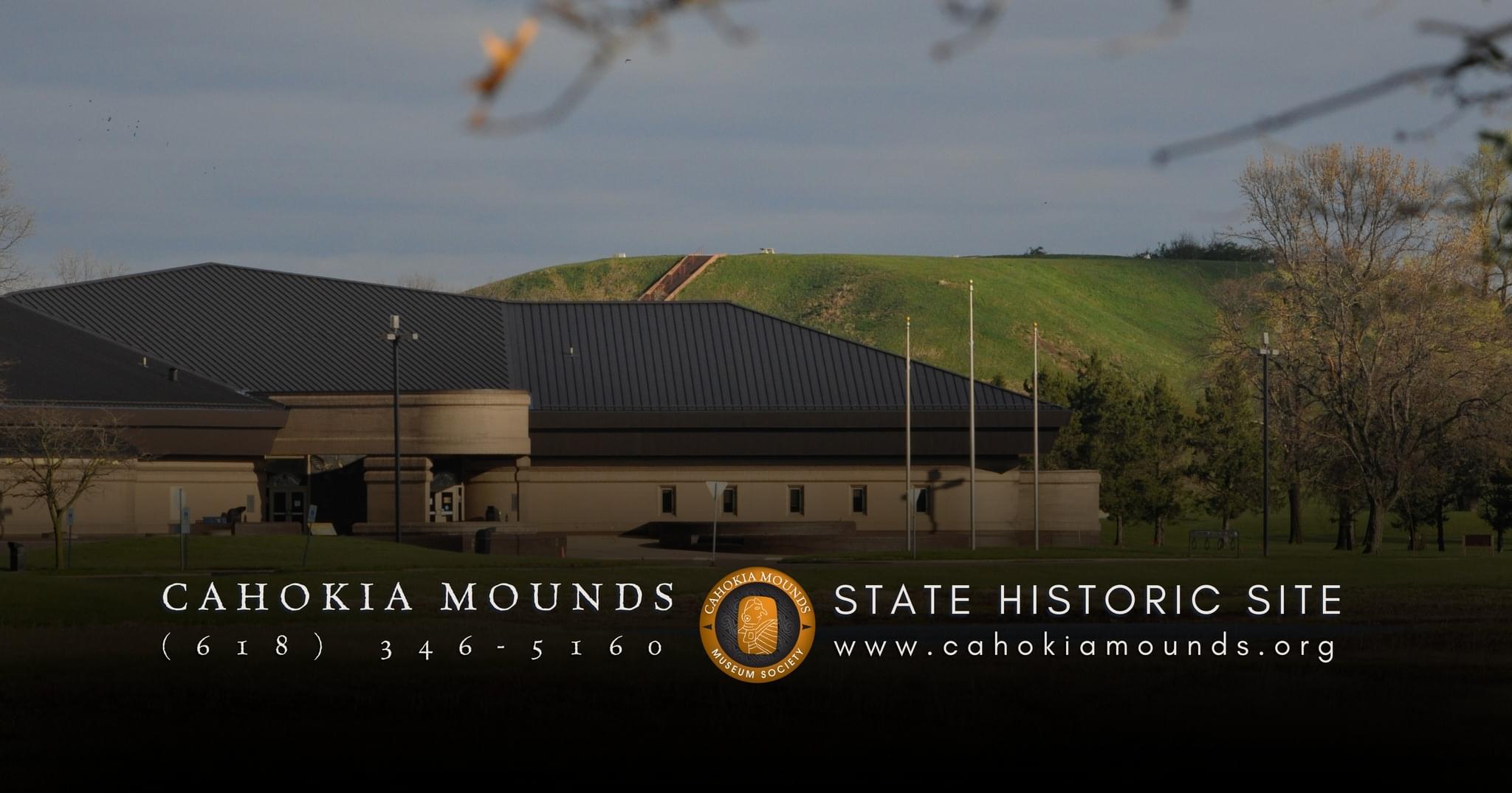
State Historic Site preserves the remains of one of the largest and most complex Indigenous cities north of Mexico. Situated across the river from present-day St. Louis, the site protects the cultural landscape of a thriving Mississippian civilization that flourished between approximately A.D. 700 and 1400. At its peak, Cahokia covered roughly six square miles and supported tens of thousands of residents, making it one of the most significant pre-Columbian urban centers in North America. Today, the site is recognized as a UNESCO World Heritage Site and gives visitors opportunities to explore earthen mounds, interpretive exhibits and walking trails that highlight the achievements of Mississippian peoples. The landscape reflects sophisticated urban planning, agricultural systems and ceremonial spaces that shaped daily life for centuries.
History & Cultural Significance
Cahokia emerged as a major cultural and political center in the Mississippi River Valley during the Mississippian period. Residents constructed large earthen mounds using basket-loads of soil, forming platforms for buildings, ceremonial spaces and burial areas. The city included residential neighborhoods, open plazas and agricultural fields surrounding the central mound complex. Trade networks connected Cahokia to distant regions, bringing materials such as shells, copper and stone from across North America. Despite its prominence, Cahokia was gradually abandoned by around A.D. 1400. Scholars continue to study environmental changes, social factors and shifting trade networks as possible reasons for the city’s decline. Ongoing archaeological research contributes to a deeper understanding of the community’s lifeways and cultural traditions, while interpretation at the site emphasizes respect for Indigenous heritage and the descendants of Mississippian peoples.
Monks Mound
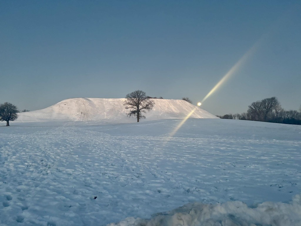
The most prominent feature at Cahokia is Monks Mound, the largest prehistoric earthen mound in North America. Rising approximately 100 feet (30 meters) and covering nearly 14 acres, the mound served as a central platform for ceremonial and leadership structures. Visitors can climb the staircase to the top, where views extend across the historic site and toward the Gateway Arch skyline. The scale of Monks Mound illustrates the organizational complexity and engineering knowledge of Mississippian society.
Interpretive Center & Exhibits
The interpretive center provides context for understanding Cahokia’s history and archaeological discoveries. Exhibits explore daily life, trade networks, agriculture and mound construction techniques. Displays also highlight ongoing research and the cultural importance of the site. Educational programming, guided tours and multimedia presentations help visitors connect with the broader Mississippian world.
Trails & Landscape
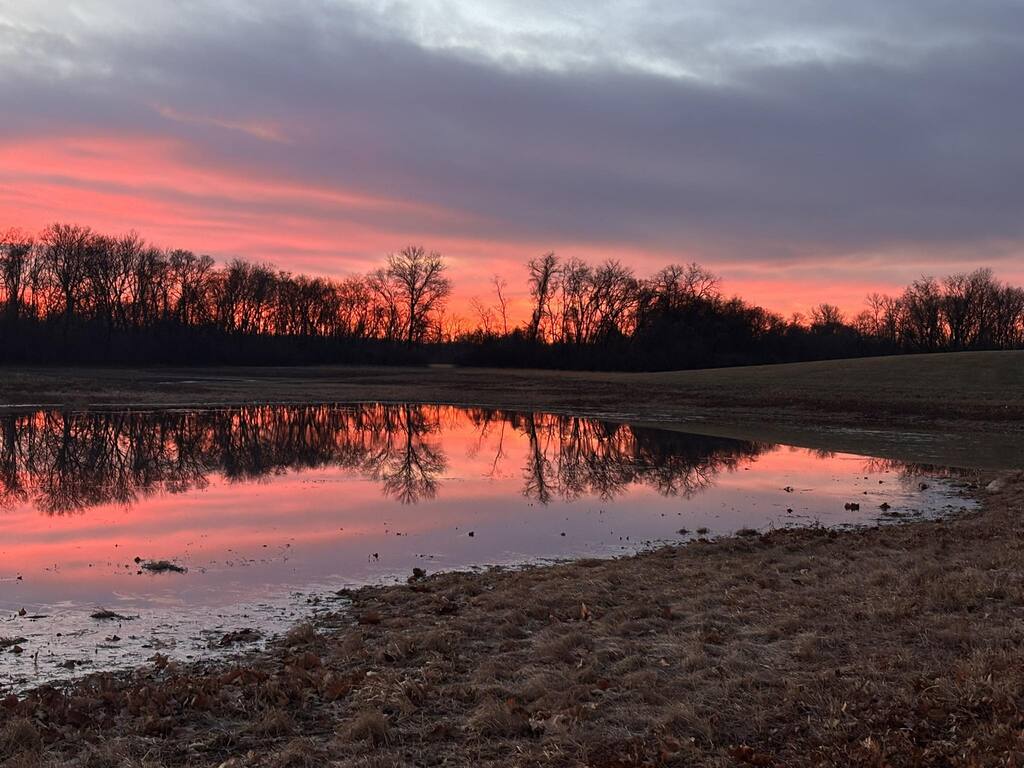
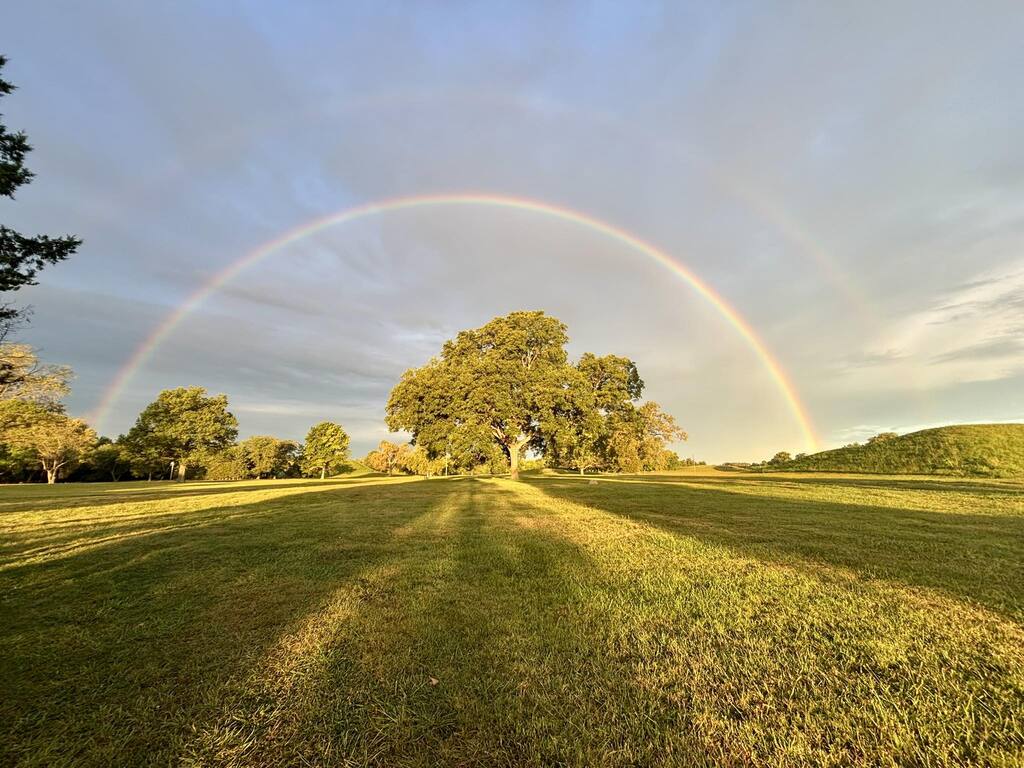
More than six miles of walking trails wind through the mound complex and surrounding prairie landscape. These paths allow visitors to explore multiple mound groups, open plazas and reconstructed features while experiencing the scale of the ancient city. Interpretive signage along the trails explains the functions of various mounds and the organization of residential areas. The natural setting also reflects the environmental context that supported agriculture and settlement.
Archaeology & Ongoing Research
Active archaeological study continues at Cahokia, revealing new insights into community organization, diet and ceremonial practices. Excavations have uncovered evidence of homes arranged in rows, large public plazas and agricultural systems that supported the population. Research also continues into the reasons for Cahokia’s decline, one of the enduring questions in North American archaeology.
Admission
There is NO admission or parking fee for our Site.
Cahokia Mounds State Historic Site, administered by the Illinois Department of Natural Resources – Historic Sites Division, is just eight miles from downtown St. Louis near Collinsville, Illinois, off Interstates 55-70 and 255, and Illinois 111, on Collinsville road.
Hours
Interpretive Center: Closed for Renovations
Grounds: Open daily from dawn until dusk