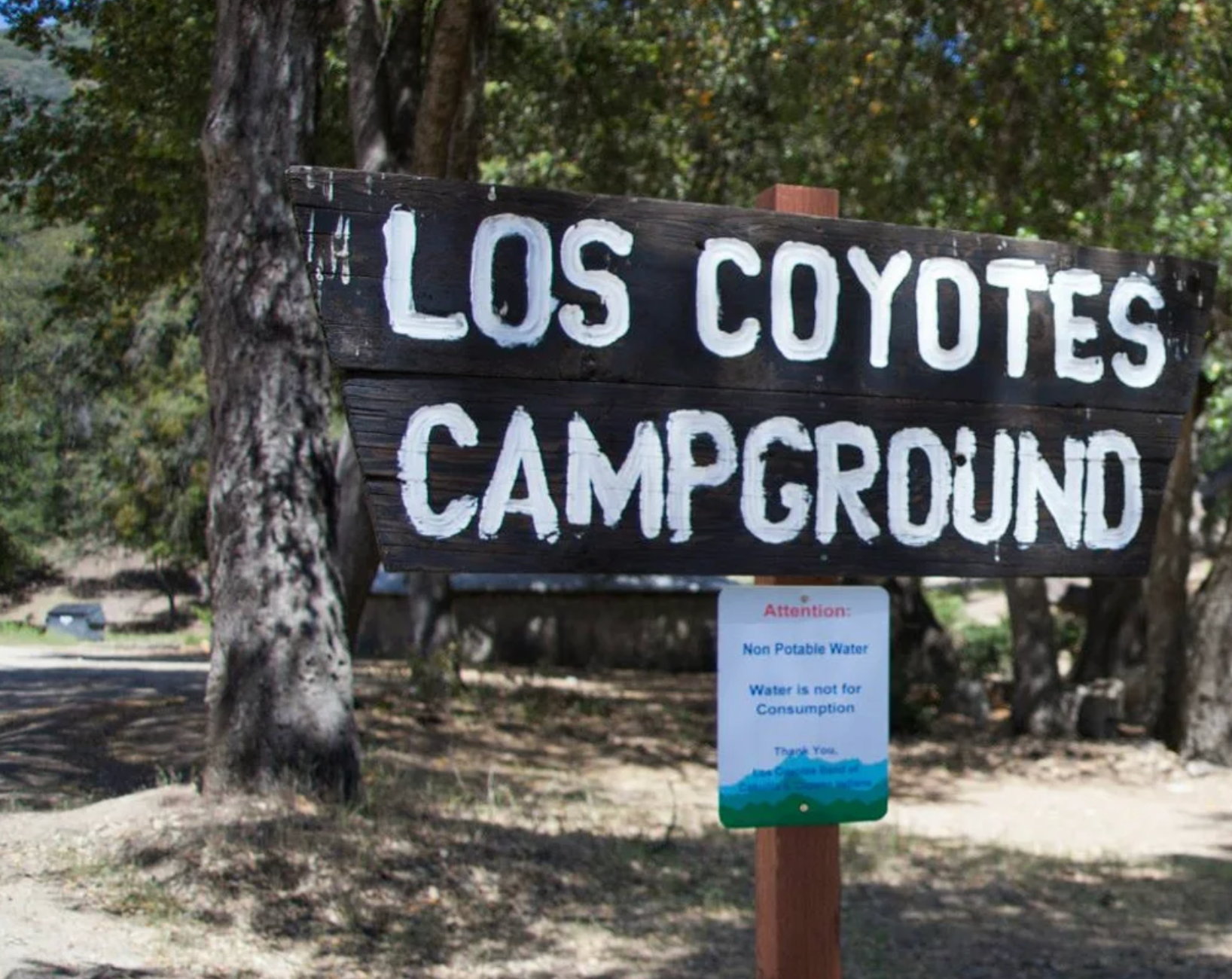
Los Coyotes is located between the Cleveland National Forest and the Anza-Borrego Desert State Park. The Tribe maintains its Los Coyotes Campground that features a trail that leads to the summit of Hot Springs Mountain, San Diego County’s highest peak at 6,533 feet.
Accommodation
Agritourism/local products
Artist/performer/storyteller
Arts
Museum/culture center/living history
Event
Family entertainment
Gaming
Historic landmark
Iconic shopping/fashion/toiletries
Outdoor/Recreation
Powwows
Culinary Arts/Restaurants
Scenic attraction
Sports/Horse Racing/Rodeos
Tour/outfitter
Visitor information

Facebook
Instagram
Twitter
Youtube
LinkedIn